Temps in Kentucky had been below freezing for weeks but finally topped 50°F/10°C. Snow still covered much of the terrain, but the eastern side of the mountains in Red River Gorge had thawed. Tunnel Ridge Road is currently closed for repairs until March 2018, so cars were parked along Hwy 11. We passed them by (suckers!) and headed off-trail on the hunt for scenic views and hidden arches.
As we pulled into the trailhead, I spotted a large wolf-like dog running toward the car. Turned out she was a very friendly, local Siberian Husky. She headed into the woods ahead of us and seemed to know exactly where we wanted to go. It wasn't our intention to hike with her, but she didn't ask permission. Several times we stopped to check the GPS location while she plowed ahead, always waiting for us in the direction we wanted to go. I nicknamed her "Doggie Boone" for her expert knowledge of the backcountry. We learned later that her name is Zowie.
View of Mill Creek Lake. From the vista above, the entire lake looked frozen. Toward the middle, we noticed a meandering path of animal footprints from the shore to the middle of the lake. I have driven past this lake many times on my way to Townsend Mountain, but never seen it from this perspective. There is a dam located near the road beyond Natural Bridge Lodge that creates a little waterfall.
From Mill Creek Lake overlook, we headed back into the woods in search of a nearby arch. Doggie Boone (aka Zowie) took off without us, inherently knowing our next stop. She blazed her way along the edge of the ridge and through loose leaves with a terrifying pace, but never lost her footing.
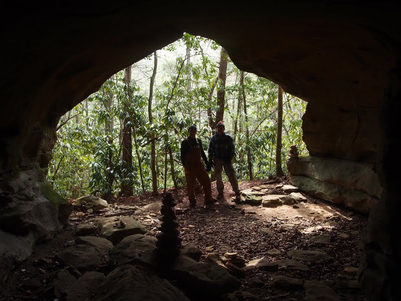
After verifying we were headed in the right direction via GPS, we followed her through thick rhododendron to Poundstone Arch. Good dog! Dale illustrates the limited height of the arch, which was bounded on both sides by tree covered cliffs. Beyond the arch, one direction led to another ridge view of Natural Bridge State Park; the other headed down the mountain along a cliff with numerous rock caves.
Overlook of Natural Bridge Lodge and Lover's Leap, visible from further north along the same ridgeline. The snow-covered area is Hoedown Island (seriously), with Hwy 11 visible to the right.
Proud to say I spotted this shed antler despite it being buried in the snow and leaves. (Photographed elsewhere.) That was my first indication that I was leading us down a deer trail. Thankfully it all worked out the same as we didn't expect to find any trails on the ridge, and were using GPS for guidance back to the trailhead.
It was so much fun hiking with a knowledgeable, furry guide. Glad she is being well taken care of instead of wandering around on her own in the Gorge. Her owner rolled up on an ATV as soon as we returned to our parking spot and claimed her.


